What is a political map?
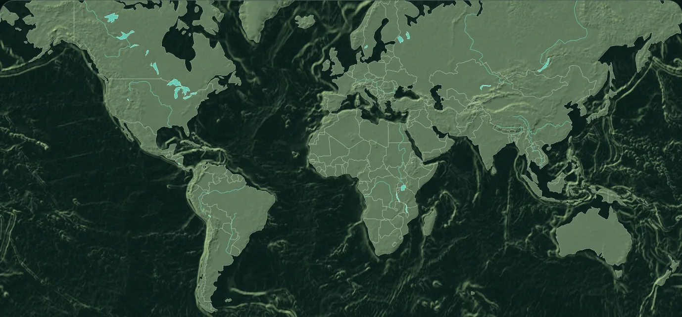
A political map focuses on human-made administrative geography: countries, territories, borders, capitals and major settlements. Color differences separate neighboring areas; they do not represent political affiliation or status.
Why boundaries need context
Boundaries are not equally settled, visible on the ground or represented the same way by every authority. This map is a generalized global reference. It does not adjudicate sovereignty or replace an official national, cadastral or treaty map.
Political and physical layers together
Modern borders sometimes follow rivers, ridges or coastlines and sometimes cut across them. Turning relief and water back on makes that relationship easier to inspect than on a flat printable map.