
Layers that have a purpose
Countries, rivers, cities, terrain and boundaries are independent controls. Each map can foreground the relevant layer instead of forcing every dataset into the same visual recipe.
An atlas for the curious
Interactive maps built to explain, compare and reveal—not just decorate a page. Begin with the dinosaur fossil record, then keep changing the question.
Every view can be searched, layered and shared.
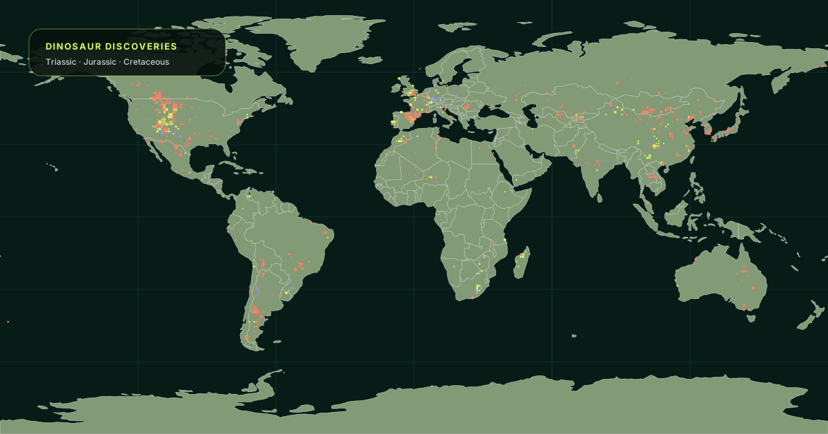 FIELD MAP 0121,693 dinosaur recordsTriassic · Jurassic · Cretaceous ↗
Choose your lens
The thematic atlas begins with dinosaur evidence: real fossil occurrences, geological time and an honest account of what the record can—and cannot—show.
Search 21,693 fossil records across 186 million years of Earth history.
02 · LANDRaise the terrain, trace the water and let borders recede.
03 · BORDERSCountries, boundaries, capitals and the context around them.
04 · SHAPEChange the mathematical lens without changing the planet.
Our cartographic rule
A map should help you answer a question, notice a pattern or make a comparison. If it only looks impressive, it is unfinished.
Maps are not the world.
They are ways into it.
Countries, rivers, cities, terrain and boundaries are independent controls. Each map can foreground the relevant layer instead of forcing every dataset into the same visual recipe.
Selected places, camera position, map mode and layer choices persist in the URL. A discovery is not trapped inside one browser session.
Every published map includes a server-rendered explanation, limitations, source context and related routes. Search engines and non-visual users receive meaning, not an empty map shell.