World reference · interactive

World Map

Move from the whole planet to a single country without losing context. Switch layers, inspect borders and physical features, and share the exact view you find.

What you can do
  • Select any country for a concise geographic profile
  • Switch between physical and political readings
  • Reveal rivers, lakes, cities and 3D terrain
  • Copy a link to the current view
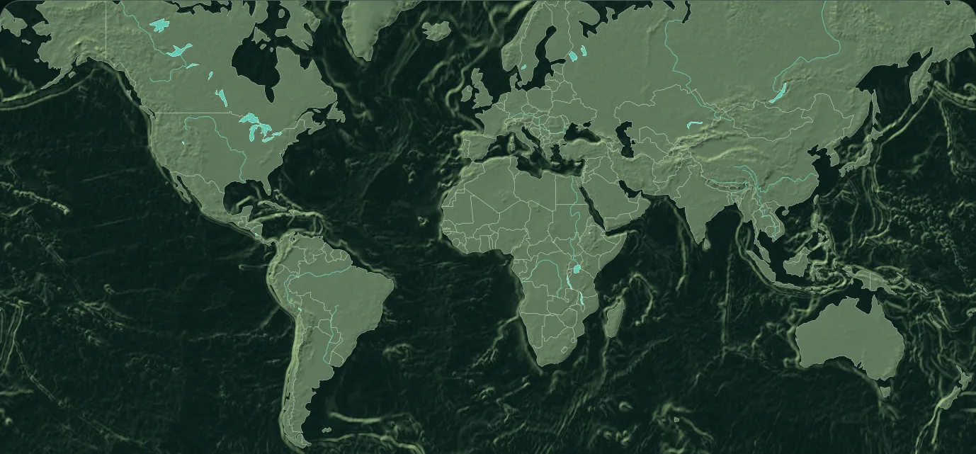
Static terrain-style world map preview showing generalized country outlines from Natural Earth.
Drawing the world…
Map data: Natural Earth · 1:110m global referenceEducational overview · not for navigation or legal boundaries

What this world map shows

The map begins with country boundaries at a global scale, then adds physical context as you zoom. Lakes, major rivers and selected cities can be turned on independently, so the map answers one question at a time instead of presenting every label at once.

A map is a choice, not a neutral window

Every world map simplifies the planet. Boundaries change, coastlines are generalized and a projection reshapes distance or area. This overview uses Natural Earth’s small-scale reference data and is designed for orientation—not navigation, legal boundary decisions or surveying.

How to read the layers

Political mode emphasizes territories and borders. Physical mode reduces those divisions and brings terrain, water and relief forward. Compare them to see how mountains, rivers and coastlines often influence settlements and boundaries without fully determining them.

World at a glance

Continents and oceans in the reference view

NameTypeReference note
AfricaContinentCrosses the Equator and Prime Meridian
AntarcticaContinentSurrounds the South Pole
AsiaContinentLargest continental area
EuropeContinentWestern Eurasian convention
North AmericaContinentNorthern and Western hemispheres
South AmericaContinentMostly Southern and Western hemispheres
OceaniaRegionAustralia, Pacific islands and neighboring groups
PacificOceanBetween Asia, Oceania and the Americas
AtlanticOceanBetween the Americas, Europe and Africa
IndianOceanBetween Africa, Asia, Australia and Antarctica
ArcticOceanAround the North Pole
SouthernOceanEncircles Antarctica

Questions, answered

A clearer legend for the fine print.

Can I share a specific country or map view?

Yes. The share control preserves the selected country, map mode, zoom, center and active layers in the URL.

Why do some small places disappear at world scale?

This is a small-scale overview using generalized 1:110m data. Small territories and fine coastline details require larger-scale regional maps.

Is the map suitable for navigation?

No. It is an educational and exploratory reference, not a routing, maritime, aviation or legal boundary tool.

Keep exploring