
The core difference
Physical maps organize the world through terrain and water. Political maps organize it through administrative areas and settlements. Neither is universally better: the useful map is the one that matches the question.
Map comparison · interactive
The same place can tell two different stories. Blend the layers to see exactly what a physical map emphasizes—and what a political map adds.
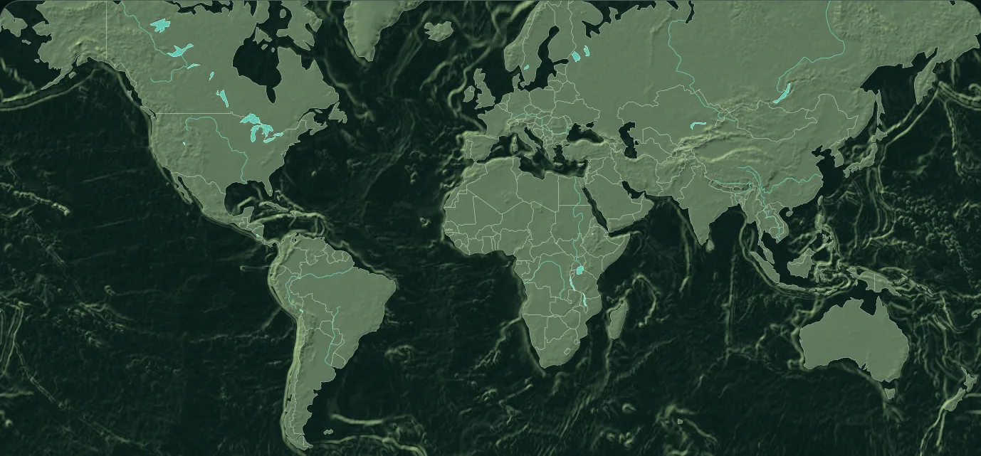
Physical maps organize the world through terrain and water. Political maps organize it through administrative areas and settlements. Neither is universally better: the useful map is the one that matches the question.
Choose physical geography when you need to understand mountains, plains, drainage, coastlines, landform regions or the natural context behind climate, travel and settlement.
Choose political geography when the question concerns countries, territories, capitals, jurisdictions or the location of one administrative area relative to another.
Direct comparison
| Question | Physical map | Political map |
|---|---|---|
| Primary subject | Terrain, water and landforms | Countries, territories and borders |
| Best for | Relief, drainage and natural context | Jurisdictions, capitals and location |
| Typical symbols | Relief shading, water lines and elevation color | Boundary lines, area colors and city markers |
| Changes when | Source resolution or terrain model changes | Names, borders or political status changes |
| Useful together | Explains the natural setting | Explains the administrative setting |
Questions, answered
Yes. Many reference maps combine terrain, water, borders and settlements. The challenge is visual hierarchy: one subject should still lead.
Not necessarily. They may retain place names or borders for orientation, but those elements are secondary.
A live blend keeps location constant while emphasis changes, making the design choices easier to see than with two unrelated images.
Keep exploring