Projection laboratory · interactive

Change the shape of the world

One planet, seven mathematical lenses. Keep the geography constant and watch area, shape, distance and direction compete.

Try this
  • Switch projections without changing the source map
  • Rotate the same geography through 360 degrees
  • Compare equal-area, conformal and compromise designs
  • Use the graticule to spot where distortion grows
Projection laboratoryKeep the world fixed. Change the mathematical lens.
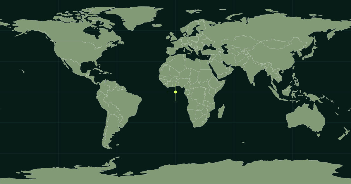
Static world map reference while the projection laboratory loads.
Reprojecting the world…
Robinson · Compromise · familiar world outlineDrag the rotation control; projection changes preserve the same source geography.

What is a map projection?

A map projection is a mathematical method for translating locations from the Earth’s curved surface to a plane. The grid makes the transformation visible: straight, curved, compressed and stretched lines reveal the projection’s priorities.

Three useful families

Equal-area projections preserve relative area. Conformal projections preserve local angles and small shapes. Compromise projections preserve no single property perfectly but reduce several kinds of world-scale distortion.

Choose for the map’s purpose

Navigation, statistical comparison, classroom reference and a hemisphere view do not need the same geometry. Ask what the reader must compare, then choose the projection whose distortion does the least harm to that task.

Projection quick reference

ProjectionFamilyUseful forMain trade-off
MercatorConformalLocal angles, web map navigationArea inflation toward the poles
Equal EarthEqual-areaGlobal statistical mapsShape distortion away from central regions
RobinsonCompromiseGeneral world referenceNo property is preserved exactly
Winkel TripelCompromiseBalanced world atlasesArea and angles remain imperfect
OrthographicPerspectiveGlobe-like hemisphere viewsOnly half the Earth is visible

Projection FAQ

No flat answer. Better questions.

Why do all flat world maps distort the Earth?

A curved surface cannot be flattened without changing area, shape, distance or direction. A projection chooses which properties to preserve and where distortion will appear.

Which map projection is the most accurate?

There is no universally most accurate projection. The best choice depends on the map’s purpose, extent and the property that matters most.

Why does Greenland look so large on a Mercator map?

Mercator scale increases toward the poles. This preserves local angles but greatly enlarges high-latitude areas on a world map.

Continue exploring